
 CackleTV Twittering!

You may have noticed that a strange box has appeared on the top of the blog, which says ‘Twitter’ in it. A week ago, I didn’t know what “Twitter” was and I didn’t really care ( I’m getting old already!)! But then I got told that ‘twitter’ could automatically let people know if I was about to go on a kayaking trip, and provide a link to a ‘live map’ of the kayaking route. I signed up and have spent the last week or so working with “Sanoodi” and Derrick to work out the nitty gritty of it.
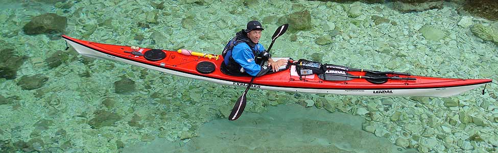
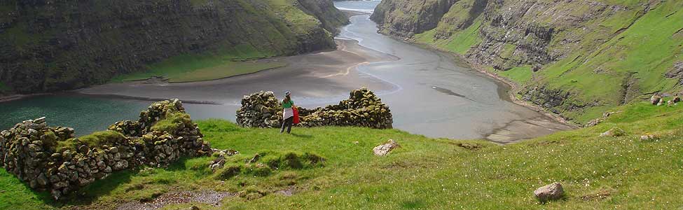
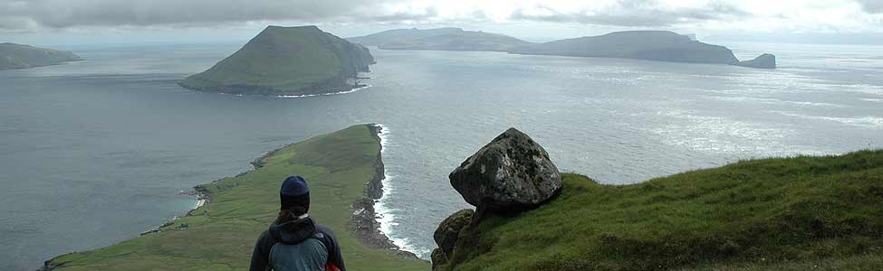
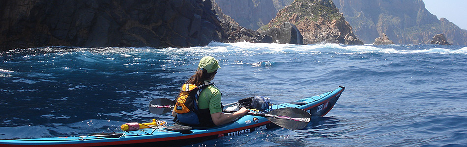
Today is a beautiful warm sunny day in Wales and when I got a phone call from a friend, I didn’t need much persuading to get out on the water – just to test the system out, of course!
The upshot is that as I’m kayaking somewhere, my position is uploaded live onto a website, superimposed on a map or an aerial photograph. Check out the map of the test paddle today – it’s amazingly detailed. You can even see where Jeff and I stopped for a play in the moving water. For those people who have better things to do than check up on my progress (!), you can look at the map at the end of the day and see where we kayaked, the total distance covered and the average speed. And, by the way, we were against the tide today – in both directions!!
How this works is quite simple – thanks to some very clever software – and the good news is that if you want to do the same thing, you can download the software you need for free from Sanoodi. You need a phone with a GPS in it – either a blackberry, an I-phone, a Nokia S-60, or a windows mobile phone. Then you can download a free copy of the SMap software from the Sanoodi website and upload your own tracks live to their website. Or go to wap.sanoodi.com from your phone. We have a blackberry because it has the best battery life.
Barry and I are planning a trip in the next few weeks which I’ll write more about soon – and we’ll be using the blackberry to give live updates of our position. To follow along, you don’t have to join twitter. Just check the blog and whenever we set off, you’ll see a link to the map of our route. If you want to join twitter, or you are already a member, then ‘follow’ CackleTV and you’ll automatically get the update everytime I go on a trip.
This is really neat. Guess I need to buy a GPS enabled phone now. Was thinking of getting a spot device.
Best wishes and happy paddling
sid (new york city)
It’s very nifty. Although you appear to have had an altitude gain (and loss) of 91 metres, which is quite an achievement in a kayak.