
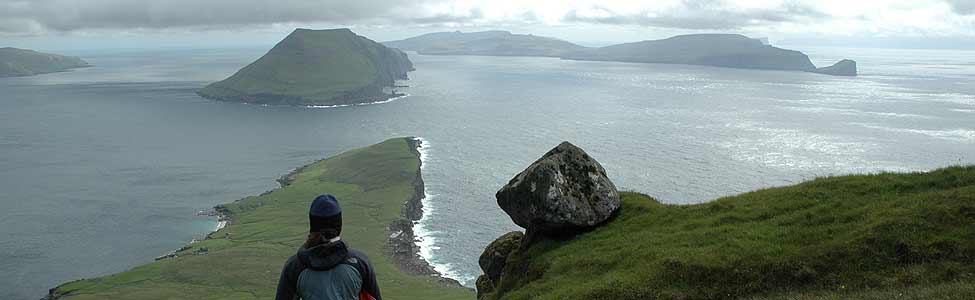
 Forecasts and reality
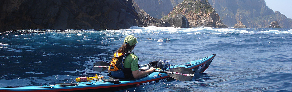
I’ve had a frustrating day looking at a much calmer sea than forecast and wishing we’d made a crossing to the Basten islands.
We have 4 forecasts to chose from. One emailed to us from Karel Vissel and three NOAA forecasts which overlap about where we are. The NOAA ones all predicted 25 or 30 knots today from the NE or E ( and the same until Thursday). Karel’s initial forecast was NNE and dropping from 20 to 8 knots this evening. We have a 16 mile crossing to do heading north in an area with strong currents. The islands we want to get to are to the north east so we need to leave when the tide starts to go east which today was about 4am or 4pm. It only runs east for 5 hours and we probably need 6 hours to cross so the closer to the start of the easterly flow we leave the better. This also means we’d arrive at the islands close to slack water which hopefully ensures the many tidal races that guard the islands should be at their calmest. People as far away as Dutch Harbour have warned us about the Barren Islands and Jerry added to the picture yesterday by pointing on the map to where a wave smashed in one of
the windows on his boat.
Sorry if I’m boring you with details but this is one of our more technical crossings and maybe you’d like to understand why we’re being cautious and why we didn’t just jump on the water during the day when it seemed the forecasts were wrong.
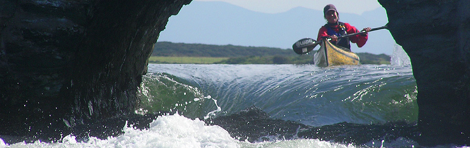
The wind was maybe 10 knots from the NNE this morning so we were tempted to catch this afternoons tide. To be on the safe side, we phoned Karel is Israel to get an update for exactly where we are and he warned us that stronger winds were likely this afternoon and evening. Disappointed, we read and slept instead. In fact, when I got out of the tent to cook dinner at 7pm it had calmed right down to the extent that the midges came out to enjoy their dinner too. The never ending rain paused and the persistent mist lifted, tantalising us with the jagged skyline of the Barren islands and the snowy peaks being Cape Douglas to the West. I even think we could see the Kenai peninsula 35 miles away.
So now we’re planning to get to at 3am and if it’s still fairly calm we’ll get ready for the crossing. If we get on the water and it looks too rough then we’ll either come back or we’ll move four miles east to the easternmost headland on Shuyak Island. Then again, if it’s howling we’ll go back to sleep.